


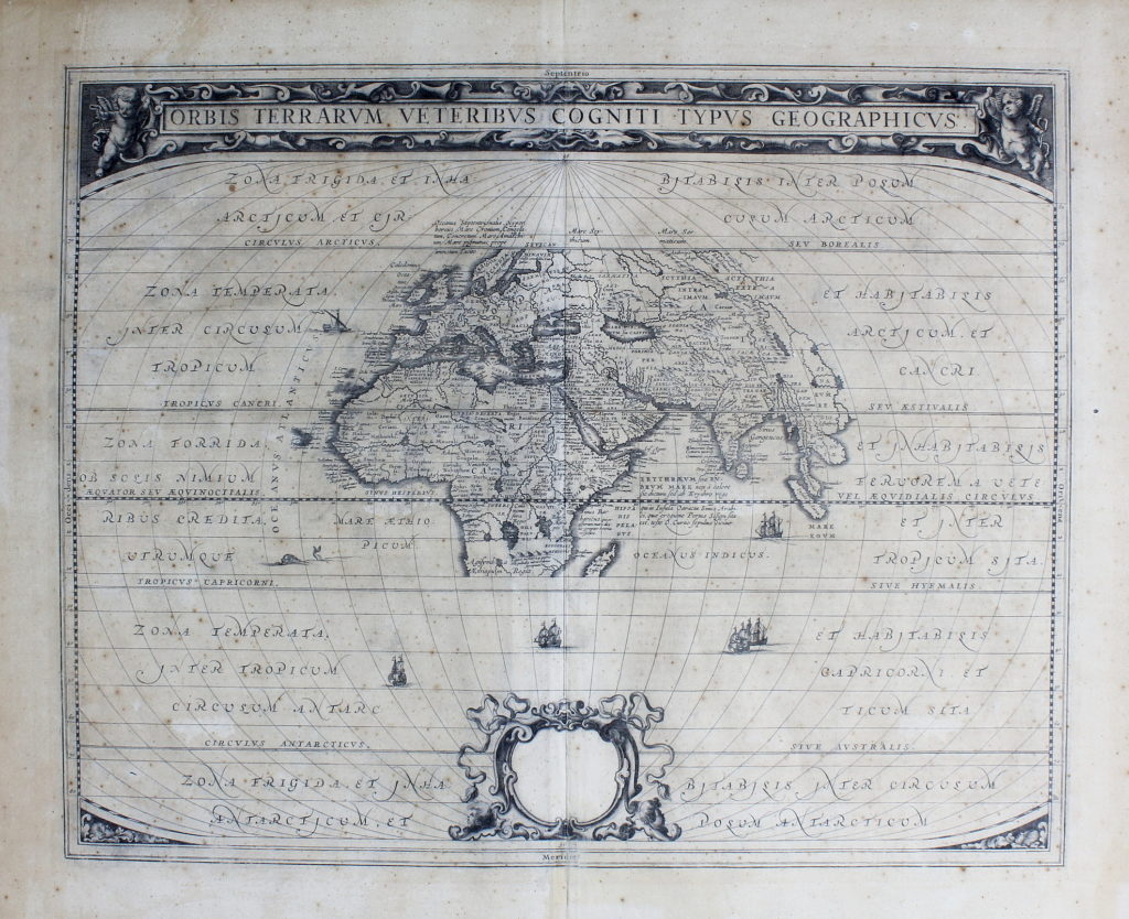
Incisione in rame (510 x 415 mm). Strappetti restaurati ai margini bianchi, leggera uniforme brunitura, qualche punto di fioritura.
Primo stato di due (cartouche bianco) del mappamondo di Johannes Janssonius (1588-1664) tratto dall'”Atlantis majoris quinta parts, Orbem maritinum”.
“Jansson’s general map in the supplement to his Atlantis Majoris describing the ancient world has been borrowed from the classical map first published by Ortelius sixty years beforehand, in 1590. Europe, Asia and Africa as four south as Madagascar are placed at the centre of a much larger oval frame. The climatic zones are marked and there is a prominent cartouche at the bottom which, in state 1, is blank. The dedicatory panels were completed later, comprising state 2”. (Shirley).
Shirley, The Mapping of the World, p. 407, n. 385. Koeman, II, 494.
€ 700,00